
On January the 20th 1873, HMS Challenger arrived at the Bay of Gibraltar. She left three days later, but not before her unknown official photographer took a series of about twenty five of some of the oldest photos ever taken of the Rock. The Challenger was a corvette of the Royal Navy that was refitted for a scientific voyage which took place from December 1872 to May 1876. The cruise was the first ever expedition organized to examine the deep-sea floor and investigate the ocean environment.
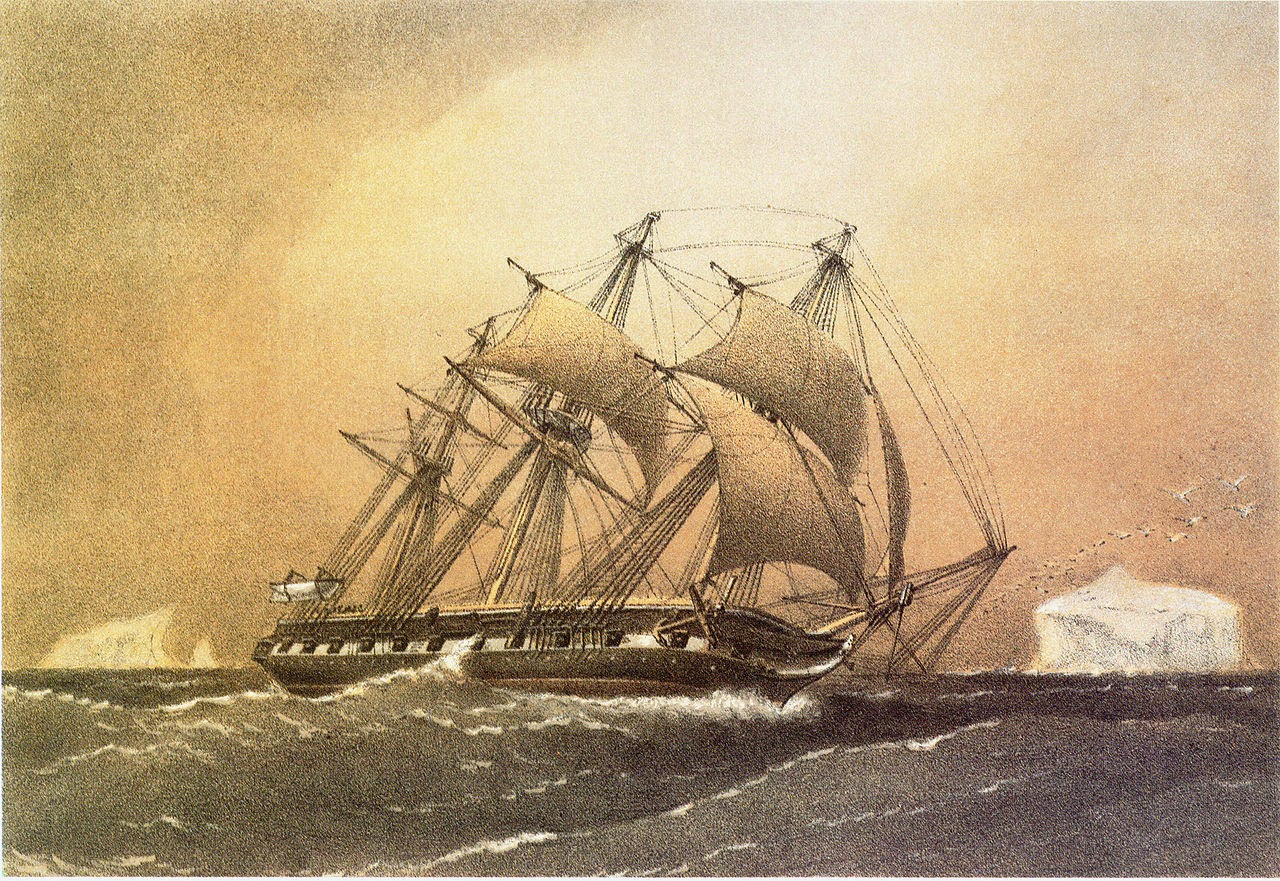
HMS Challenger as a corvette of the Royal Navy ( 1858 - William Frederick Mitchell )
The history of this epic circumnavigation of the globe is outside the scope of this article, but a book written by one of the scientists on board - William James Joseph Spry - and published in 1877 is of interest as the author gives a short and rather superficial account of his impressions of Gibraltar.
Arrival - At sunrise the next morning we were close under the Rock of Gibraltar, rising barren grey and gloomy before us. Shortly after we came to anchor, and later in the day proceeded alongside the New Mole to complete with coal, etc. This remarkable promontory, the Calpe of the ancients, constituted of old, with the opposite Abyla, or Apes' Hill, the boundary of the then known world.
.jpg)
The Rock from the east
.jpg)
The Rock from the South
Fortifications - Gibraltar was strongly fortified when it belonged to Spain, but its greatest and grandest works date from the Treaty of Utrecht (1713), ( see Link ) when it became attached to England. Stupendous and incomparable are the works which since that period have been executed on it. Excellent and well-kept roads lead to the principal fortifications, which begin at an elevation of only a few hundred yards above the town. The galleries hewn in the solid rock, forming a kind of casemate, have been constructed at an immense expense of labour and money.
.jpg)
Line Wall near the commercial mole
Their extent is over a mile in length; and besides these galleries, passages run for miles in the interior of the Rock, affording the garrison a thoroughly protected connection with all points that might be at any time threatened. The grandest and most imposing of these marvellous excavations are the Queen's Gallery and St. George's Hall . . . At the period of our visit, there were about 1800 guns mounted on the different fortifications.
.jpg)
The 'Devil's Tongue'

Europa Battery in the south
Signal Station - From the fortification a narrow and rather steep path leads to the Signal Station, at an elevation of 1300 feet above the level of the sea, where a sergeant of the Royal Artillery is placed in charge. From this point, an excellent view is obtained of the blue waters of the Mediterranean, and the many charming Spanish villages on the western shore of the bay.
Caves - On the road down are to be seen some remarkable calcareous caves. That of St. Michael's is situated at a height of 800 feet above sea-level. It contains beautiful stalactite formations, and seems to be of considerable extent. It is somewhat difficult to get about in its intricacies, but one is well repaid for the trouble.
On the south-east side of the Rock is another of these caves, dedicated to St. Martin; it is smaller, but the stalactites are of a purer whiteness. Here we discovered a large accumulation of sand, recent shells, and many heaps of bones and teeth of large herbivorous animals which possibly existed here ages ago, when Gibraltar, instead of having its present salubrious climate, was covered with icy peaks and glacial boulders.
Ceremony of the Keys - Gibraltar has little save its barracks, military store-houses and fortifications to attract strangers; in fact, within the gates it may be considered merely a large garrison. The opening and closing of the gates is daily carried out with a certain amount of ceremony, as if in a state of siege.
Immediately after sunrise the sergeant of the guard procures the keys of the gates, which have been deposited at the Governor's the night before, when, accompanied by a guard with rifles and fixed bayonets, he has the gates opened, and the drawbridgelowered; and throughout the day visitors are free to come and go; those from Spanish possessions having a pass which is "vised."
Every evening, soon after sunset, the ceremony is repeated. The sergeant, accompanied by his escort, carrying a heavy bunch of keys, marches to the various town gates, the bridges are drawn up, the gates closed, bolted, and locked, and from this hour none can enter or leave the town, for the keys are returned to the Governor.
Naval Yard - The Naval Yard is a compact and excellent establishment, where defects to the hull and machinery of vessels on this part of the station are well attended to. Stores of all descriptions are to be obtained, and large quantities of coal, some 10,000 or 15,000 tons,are usually on hand.


The church on the left - St Joseph's - was built in 1863 or only 10 years before this photo was taken
Population - The town, which is built on terraces on the side of the Rock, givesshelter to some 15,000 souls, consisting of Spaniards, English, Italians, Portuguese, Moors, Turks, Greeks, and Jews; indeed, a mixture of races, customs, and manners, such as can scarcely be found at any other place in Europe.
There are several churches, chapels, and synagogues, a couple of excellent hotels, and numbers of other houses for refreshment; shops for the sale of Moorish curiosities, Maltese lace and filigree jewellery, cigars and tobacco. Being a free port, there are no custom duties (except on wines and spirits), consequently most things are so cheap as to induce smugglers to carry on an extensive trade with Spain, which persists in continuing to maintain her prohibitory duties on English goods.
.jpg)
The town looking north
.jpg)
The town looking south
Garrison Library - I must not omit to mention the Garrison Library, nor the kindness and cordiality of the military, who invariably, on the arrival of a man-of-war, take the earliest opportunity of acquainting the officers that during their stay in port they are to consider themselves honorary members. Many a pleasant hour may be passed in this resort, with its thousands of volumes; for, although amongst this vast collection there are many rare and costly works, especially of ancient Spanish literature, all the newest and most important books and magazines of the day are being constantly added. Add to these late newspapers, periodicals, and daily telegrams from England, and some notion may be formed of the value of the Garrison Library at Gibraltar. It . . is one of the finest and most imposing buildings on the Rock.
Alameda or Eliott Gardens - There are several pleasant walks about the town, but perhaps the best is in the Alameda, ( see LINK ) or Eliott Garden, situated at the south end; it is prettily laid out, and in commemoration of the heroic defender, General Eliott . . . a bronze bust on a column has been erected to his memory. Plants of different sorts - semi-tropical cacti, dwarf palm, Spanish broom, the yellow blossoms of which are mixed with the varied colours of fuchsia, orange, and oleanders—render it a most charming promenade, and during the fine evenings military band performances take place, when it is usually thronged with visitors.
.jpg)
Grand Parade with the Alameda Gardens on the right
.jpg)
.jpg)
.jpg)
Three shots of the Alameda Gardens
Continuing our walk farther south, we passed the dockyard convict establishment, and barracks, and on the lowest terrace, which juts farthest into the sea, came upon the lighthouse on the celebrated Europa Point.
.jpg)
.jpg)
.jpg)
The Devil's Gorge or Glen Rocky
.jpg)
The Devil's Tooth
The Neutral Ground - On the north end of the Rock is the sandy neck of land called by the Spaniards "El Istmo," and by the English the "Neutral Ground." It runs between the Mediterranean and the Bay, and is about 1 mile in length and 2700 feet in width. This plain, which is not more than 10 feet above the level of the sea, owes its origin to the formation of a dune in the rocky bed of the ocean.Strong easterly gales seem by degrees to have accumulated the sand on this shallow run of the sea, which formerly separated Gibraltar from Spain. Until quite recently the inhabitants were almost entirely dependent for water on that collected from rain in tanks. Artesian wells, however, have been sunk on the Neutral Ground, and now yield an extensive supply of excellent, pure water.
Catalan Bay - On the east side of the Rock, near Catalan Bay, ( see LINK ) there is a sand formation similar to that on the Neutral Ground; this deposit has attained the enormous height of 1000 feet. There is no road round this side, for a portion of the sand has been excavated at the point where the isthmus joins the Rock, and the water of the bay flows in so as to leave only anarrow low dyke of firm ground.
.jpg)

.jpg)
Gibraltar from Campamento
Campamento - The adjacent Spanish settlements of Campamiento ( sic) and San Roque are much resorted to by excursionists from Gibraltar, and during the summer months are selected by numerous families for a prolonged stay. However little pleasure or interest a ride over this arid and sandy plain affords, when once arrived at Campo, the rider enjoys a most charming prospect, as there is probably no other point from which the isolated Rock appears more grand or picturesque than from this neat little village.
The Challenger photographs - of which there were hundreds from all over the world - were eventually commercialised and were sold to the public by the Edinburgh photographic company J. Horsburgh and Sons. The interspersed photos included above are from the Challenger's own collection of those referring to Gibraltar. Those shown in large format have been attributed by others to different sources, a consequence no doubt of their commercial rights having been sold to other photographers.