

Middle Section - Town and upper Rock
4. el Foso - Son ocho escalas las que an de venir enbarcados enderechura al foso
In other words eight of the contraptions shown on the sketch were to be taken by boat directly to Landport Ditch.

Escala
5. puerta de Tiera
Landport Gate (See LINK)

Landport Gate on the right with its wooden bridge across the ditch (1910)
6. laestacada
The palisade - The contemporary map shown below gives a better idea of the protection offered to British troops by having a palisade just in front of the Grand Battery and the ditch at Landport Gate. The invaders, of course, intended bypassing this.

(1747 - Unknown - detail)
7. Puerta de la barcina (see LINK)
La Barcina is today’s Grand Casemates. The gate gave access to the rest of the town - La Turba. As such it is somewhat wrongly placed on the map. Better positioning would have been have been just to the right of No 8. By the mid 18th century it was probably an opening rather than a gate

La Puerta de la Barcina - During the 17th century it still offered some sort of resistance to invasion from the south into the older part of town ( 1608 - Cristóbal Rojas - detail) (See LINK)
8.puerta de mar
Waterport Gate - At that time the main entrance into town from the sea. (See LINK)
9. muelle nuevo
The New Mole - Don Francisco had obviously confused the Old Mole with the “New” one. He was by no means the only cartographer ever to make this mistake. (See LINK)

(Unknown date - Louis Boudan)
The Convent - More or less where it ought to be. (See LINK)

The Governor’s Residence in relation to South Bastion and Charles V wall - both to the right - and south of it (1753 - James Montressor) (see LINK)
18. San Juan de DiosOne of Gibraltar’s first hospitals and eventually a complex building which included a church , a convent and a large garden - which might account for the various names attributed to it over time - from Nuestra Señora de los Desamparados, to San Juan de Dios to Nuestra Señora de la Salud (see LINK)

San Juan de Dios - what it may have looked like before 1704 (1970 - George Palao)
19. Almacen de polbora
As one of the most war-prone place on earth it is hardly surprising that Gibraltar had more than its fair share of powder magazines. The very old Moorish Gate House - once know as Bab-al-Fath (see LINK) - was probably the one the map-maker was referring to.

The Moorish Castle Gate House - the roof was added - possibly by the Spaniards - when it was converted into a powder magazine
20. Fortaleza Antigua
The Moorish Castle. (See LINK)
21. el Acho
El Hacho - better known to the British as Signal Station. The map shows it further north than it should be.
22. la Casilla de la punta del monte
Rock Gun - There may have been some sort of look-out station there in the mid 18th century.

Rock Gun (10) and Signal Station (Signal) as they appear in a contemporary French map (1756 - Tobias K Lotter - Detail )
23. Bateria de Elias
Willis’s Battery.
24.Reina Ana
Queen Anne’s Battery
25. los órganos
Another of Gibraltar’s many batteries. The only other plan I can find in which the word “organos” is the one shown below. It formed part of a larger document that was presented to the Spanish court - yet another hare-brained scheme to recover the Rock for Spain.

No. 10 is identified as “Batería los Órganos” (1762 - Francisco del Pozo Aldana) (See LINK)
So far I have been unable to identify which one of the many possible batteries it might refer to - nor the reason why it was called the “organ”.
26. el pastel
27. el pastelillo
Two Spanish fortifications which now no longer exist shown on the plan more or less where they are supposed to have existed - if occupying rather more space than they would have.
There are a few post 1704 maps that identify these forts - particularly the larger one - “el pastel” - but hardly any illustrations. The one below is the only one I can find.
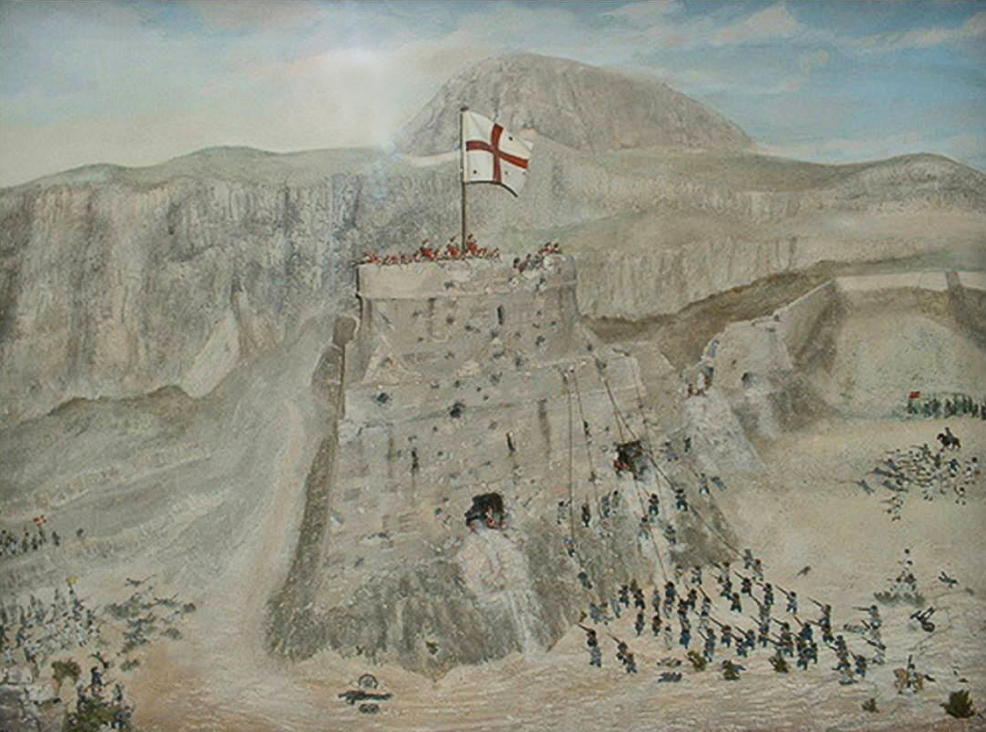
An assault on the Round Tower - el Pastel - against French Grenadiers by Royal Marines in 1704 (With thanks to Abigail Kenneth Busutill)
28. el cuartel que esta dentro de muralla
A barracks found inside the Moorish Castle precinct shown on the map as just beneath the Moorish Castle - where it may well have been.
37. Rio de guadRanque
38. Rio de Palmones
These two rivers were collectively known locally as “los rios”. I remember them well
39. torre de la duquesa
The only tower I can find occupying anywhere near this site is la Torre del Almirante - as shown on the map below.

Map published in 1834 - Note Torre del Almirante between the Rio Palmones and Algeciras
See also:
1758 - A Plan to Invade Gibraltar - Introduction
1758 - A Plan to Invade Gibraltar - Northern Section
1758 - A Plan to Invade Gibraltar - Southern Section
With thanks to genealogist Georgina Marks who supplied me with all the information I needed to write the above. All the mistakes are mine. Thank you Georgina.